

Caher Mountain [Cathair]
Good walks are even better shared.
Overview
Caher Mountain [Cathair]
Caher Mountain rises to a respectable height of 1001 meters, making it an impressive feature of the Kerry Mountains. This majestic peak is a must-visit for any outdoor enthusiast looking to soak in breathtaking views and discover a landscape that feels almost otherworldly.
Geography and Geology
Located approximately V793379, Caher is primarily made up of granite and quartzite, providing an excellent backdrop for a lovely day of hiking. As you ascend, you'll notice the distinct signs of glacial erosion, lending the mountain a rugged yet beautiful profile.
Routes to Explore
- Caherdaniel Loop: A circular route that is quite popular among hikers due to its stunning views and moderate difficulty (approx. 8 km, 3.5 hours).
- Páirc na nDéithe Approach: For those seeking a challenge, this 6.5 km trek involves navigating rocky terrain but rewards climbers with unforgettable vistas at the summit (2.5 hours).
Summit Features
At the summit, you'll find a well-constructed stone cairn and a trig point. Be sure to snap a photograph, as the panoramic views of the Atlantic Ocean, Macgillycuddy's Reeks, and the famed Skellig Islands are simply postcard-perfect.
Terrain and Hazards
Expect a mix of rocky and grassy terrain with some soggy patches lower down. While the views can be gobsmacking, keep an eye out for sudden weather changes. Visibility can vanish quicker than your motivation to climb once the rain starts.
Nearby Summits
If several peaks are on your agenda, consider adding Benkilis (898 m) and Cnoc na Toinne (871 m) to your itinerary!
Access
Caherdaniel is the place to park, making it very accessible. There's also bus service from Kenmare, so no need to hitch a ride from a sheep! The nearest town for all your pre-hike needs is Kenmare, which has all the essentials.
Facilities
A small café in Caherdaniel offers a welcome respite after your climb, along with public toilets to ensure you're good to go on your next adventure.
History
The name 'Cathair' means 'stone fort', hinting at the historical significance of the area. It’s often said that legends linger in the air like the mist around the peak, making this mountain more than just a stunning landscape.
Whether you're a seasoned climber or a curious day hiker, Caher Mountain promises a delightful excursion into nature, with rewarding views and a twinge of adventure. Pack your boots, grab a camera, and prepare for an unforgettable experience!
Happy hiking!
Explore routes near Caher Mountain [Cathair]
Public walks starting within 80 km of this hill. Nearby does not mean a route reaches the summit; check its map and access before setting out.
No public routes are currently listed within 80 km of Caher Mountain [Cathair] on Walkmates. This does not mean there are no paths here. Explore the map and check local access information before planning a walk.
Route planning notes
These notes describe possible approaches, not verified navigable routes or permission to cross land. Check current paths, local access rules and conditions before setting out.
Caherdaniel Loop
A circular route starting from the village of Caherdaniel, providing stunning views throughout the hike.
Páirc na nDéithe Approach
An ascent that meanders through lush grasslands and rocky outcrops, leading towards the summit.
Make a day of it, together
Find someone to share the walk with, or organise a day out along a route you like.
Photo Gallery
View all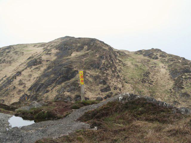 Photo could not load
V7938 : Peakeen Ridge Walk on Caher Mountain
Gordon Hatton
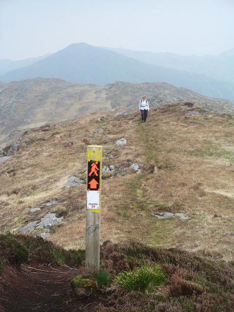 Photo could not load
V7937 : Caher Mountain summit
Gordon Hatton
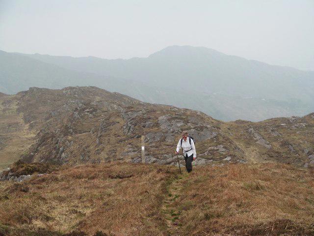 Photo could not load
V7937 : Nearing the top
Gordon Hatton
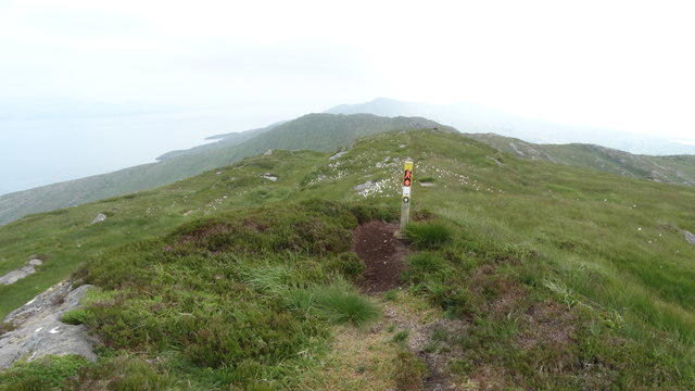 Photo could not load
V7937 : Way marker on Caher Mountain Sheep's Head Peninsula
Colin Park
Hill facts and local notes
Classifications
Elevation
338m
1,109 ft
Prominence
144m
Coordinates
51.5818, -9.7410
V793379
OS Map
88
At the Summit
The summit features a well-built stone cairn and a trig point that offers panoramic views of the surrounding mountains and coastline.
Terrain & Geology
Caher Mountain is primarily composed of granite and quartzite, showcasing classic features of glacial erosion, with a rugged, dramatic profile.
Views & Scenery
From the summit, you can see Macgillycuddy's Reeks, the Atlantic Ocean, and the Skellig Islands in the distance.
History & Heritage
Name Origin
The name 'Cathair' translates to 'stone fort', which reflects the area's rich heritage.
Historical Significance
Caher Mountain is revered in local folklore and serves as a storied landmark for hikers and climbers.
Getting There & Facilities
Check current local access restrictions, parking rules and transport timetables before travelling. These notes do not confirm public access to the summit.
Parking
There is parking available in the village of Caherdaniel, just a short walk from the trailhead.
Public Transport
Bus services run to Caherdaniel from Kenmare, though schedules may vary.
Nearby Facilities
The village of Caherdaniel has a small café and public toilets to refresh yourself post-hike.
Safety Information
Known Hazards
- Beware of sudden weather changes; visibility can drop quickly. Some paths can be slippery in wet weather.
General Safety Tips
- Check weather conditions before setting out
- Carry appropriate clothing and equipment
- Let someone know your planned route
- Take a map, compass, and GPS device
- Carry emergency supplies: food, water, first aid kit, torch
Hills
Some common questions about the hills answered
Are there group walks up Caher Mountain [Cathair]?
Many walkers use Walkmates to join or organise walks with others. You can check for group walks around Caher Mountain [Cathair] through the maps
Are there other walkers around Caher Mountain [Cathair]?
Activity varies by location and time, but Walkmates lets you see whether others have shared walks or shown interest in this area. Find other people through the walking friends search walking friends for Caher Mountain [Cathair] search or of course create your own walk for Caher Mountain [Cathair]
Can I organise a walk to Caher Mountain [Cathair]?
Yes. If there aren’t any walks listed already, you can create a walk and make it available for others to join.
If you're signed up to Walkmates, you can create a walk to Caher Mountain [Cathair].
How do I find a walk up this hill?
There are often multiple ways to walk this hill, depending on experience and route preference. Walkmates helps you explore walks and routes that others have shared.
Can I suggest a new route up Caher Mountain [Cathair]?
Yes. You can suggest or create routes to share with others. Walkmates focuses on the social side of walking, so routes are used to help people organise walks and explore areas together, rather than as detailed navigation tools or route libraries.
Other uses really appreciate knowledgeable walkers sharing their routes. Share your favourite route to Caher Mountain [Cathair] here
The is an error or something incorrect about this hill. How do I let you know?
We always strive to keep the information on Walkmates as accurate as possible. If you find an error, please let us know through the contact form and we'll aim to correct it as quickly as possible
Community Discussion
Comments
Location
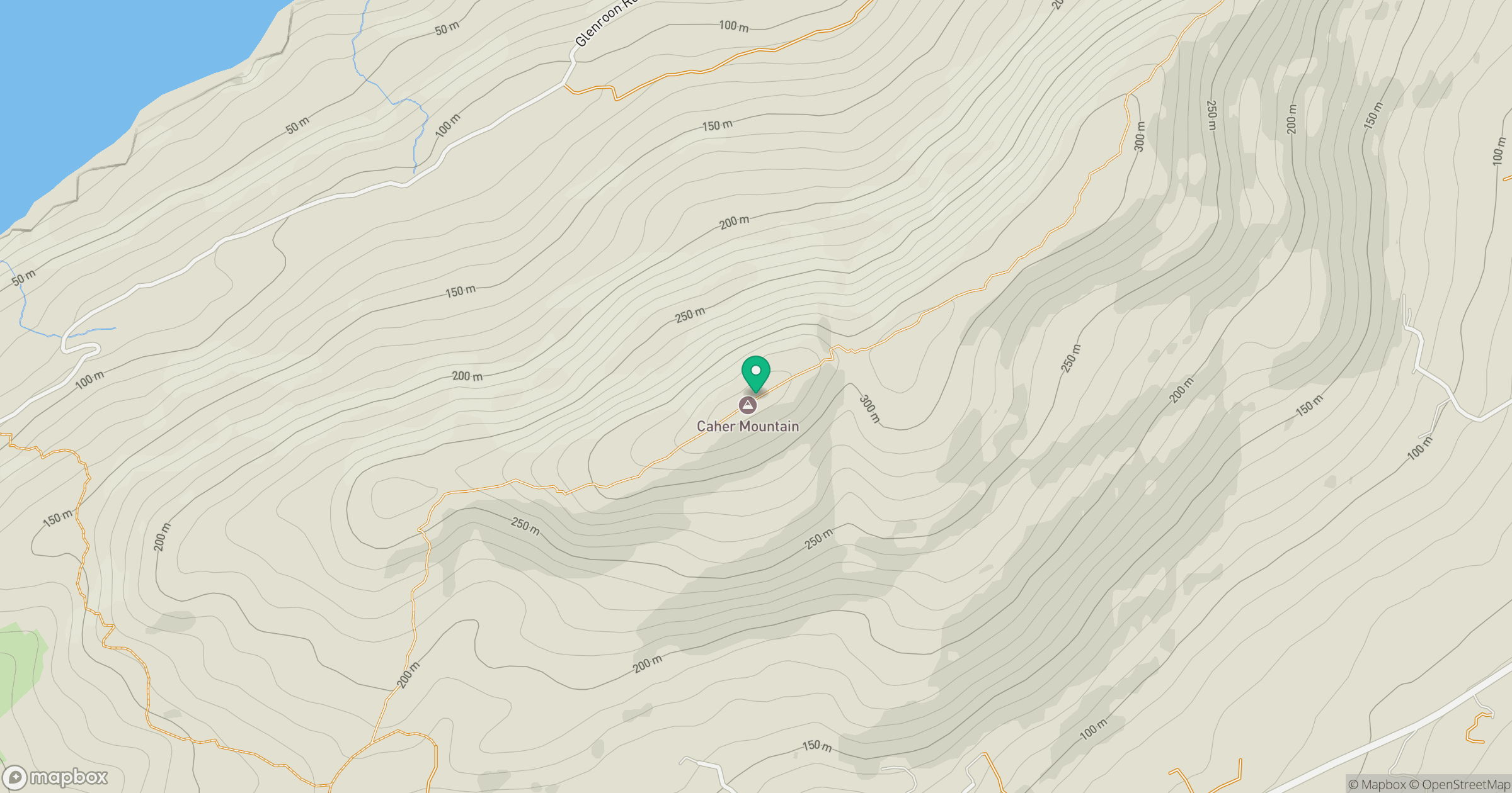
Grid reference: V793379
View on OpenStreetMapOpens a map in a new tab, centred on the hill.
Hills within 30 km
Straight-line distance, not a walking route or confirmation of access.
Seefin [Sui Finn]
345m
Knocknamaddree [Cnoc na Madrai]
313m
Knockaphuca [Cnoc an Phuca]
237m
Ballyroon Mountain
239m
Gouladane
303m
No comments yet. Be the first.